
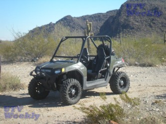
Harquahala Mountain UTV Trail
 By Alex at SouthwestUTV.com
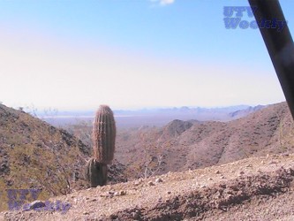
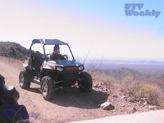
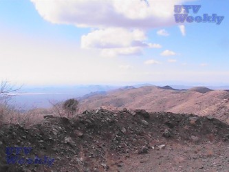
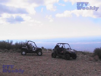
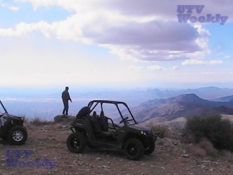
This rugged 21 mile out and back UTV trail has been upgraded by the BLM in recent times but it is still a steep and exciting ride with the reward being forever views from the 5700 foot summit of the tallest mountain in Southwest Arizona.
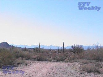
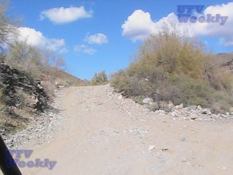
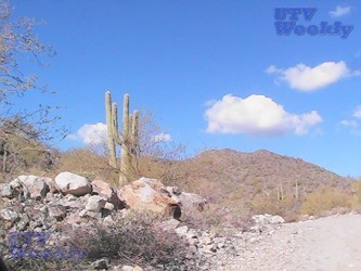
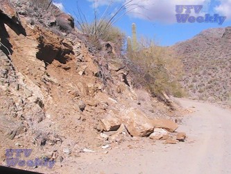
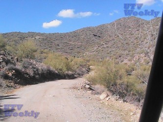
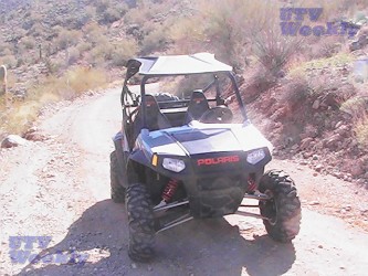
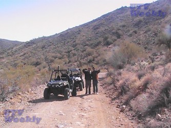
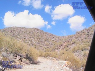
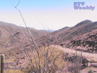
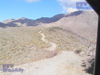
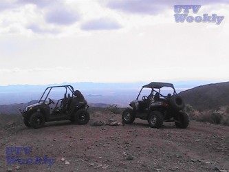
 The first few miles are easy going along a well graded dirt road that winds it way through stands of large Saguaro cactus and Lower Sonoran Desert. The trail snakes its way through Blue Tank Canyon, over some large mountain razorbacks and then starts climbing and does not stop climbing until it reaches the top of Harquahala Mountain. We used low gear and 4 wheel drive to slowly crawl our way up enjoying the scenery and anticipation of what was around the next corner. The top offers picnic tables, fire rings, lots of scenic picture spots and a historic 1922 Smithsonian Weather Observatory.
Give yourself about 2 1/2 hours for the trip to the top.
Directions: From Phoenix, take I-10 west to the Salome Road exit. Turn right and follow for 9.6 miles to Eagle Eye Road. Turn right on Eagle Eye and go 8.8 miles north to the staging area on your left.
Staging: There is a large, well marked and maintained staging area. The area includes picnic tables, fire rings and pit toilets.
Fees. No fees or permits required.

 |
 |
 |
 |
Category: Featured, Trail Rides


